

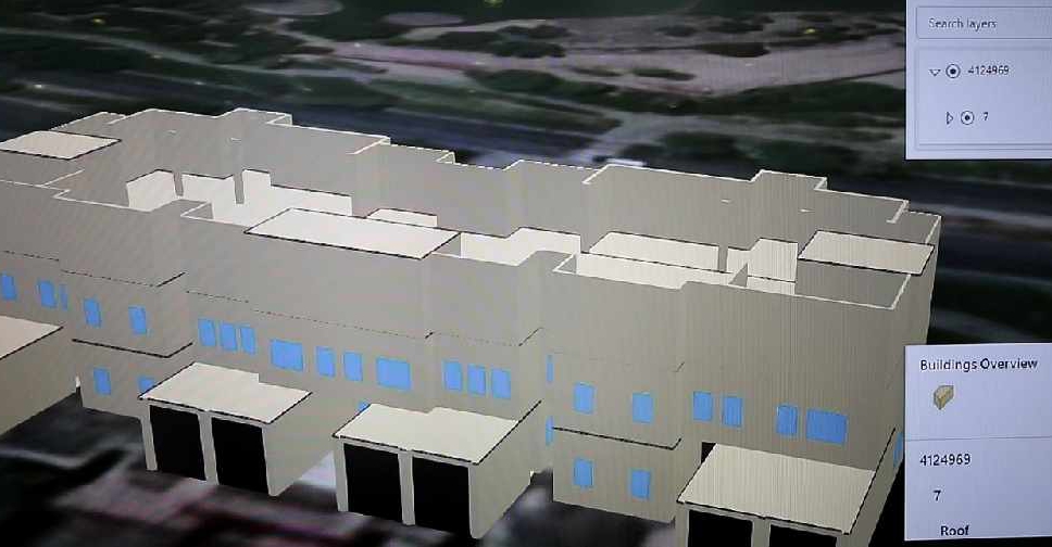
Dubai Municipality has launched an electronic system that provides access to geospatial data and maps of the emirate.
It features digital 2D and 3D replicas of all the landmarks and infrastructure facilities with details ranging from building masterplans and interiors to external green areas, bridges, tunnels and service lines.
The system called ‘Dubai Here’ also provides access to details of housing units and information on economic activity, the environment, health and population.
It’s accessible on a web browser or smart device, and is designed to be easily updated.
The project will help officials with urban planning and managing services related to infrastructure, security and health.
.@DMunicipality launches ‘Dubai Here’, an e-system that provides comprehensive geospatial data and maps of #Dubai https://t.co/91qKK5FAqc pic.twitter.com/ce4aOJHoaB
— Dubai Media Office (@DXBMediaOffice) June 22, 2020
The municipality has also signed an agreement with the Roads and Transport Authority (RTA) for enhanced cooperation in the geospatial infrastructure of Dubai.
.@rta_dubai, @DMunicipality sign geospatial infrastructure service level agreementhttps://t.co/v5YDsQTl7Y pic.twitter.com/fTqOBl4MjY
— Dubai Media Office (@DXBMediaOffice) June 22, 2020


 Dubai private school enrolment up 4.6% for new academic year
 UAE Attorney-General orders investigation of flydubai flight incident
 KHDA to launch AI policy for Dubai schools in 2027
 UAE, Jordan discuss bilateral relations in Abu Dhabi
 Flydubai suspends Israel flights amid FZ1073 incident investigation
 GCAA: Security incident involving flydubai flight brought under control
 UAE condemns killing of oil tanker crew members off Somalia coast
 Flydubai issues update on flight FZ1073 diverted to Tabuk